English II 2020
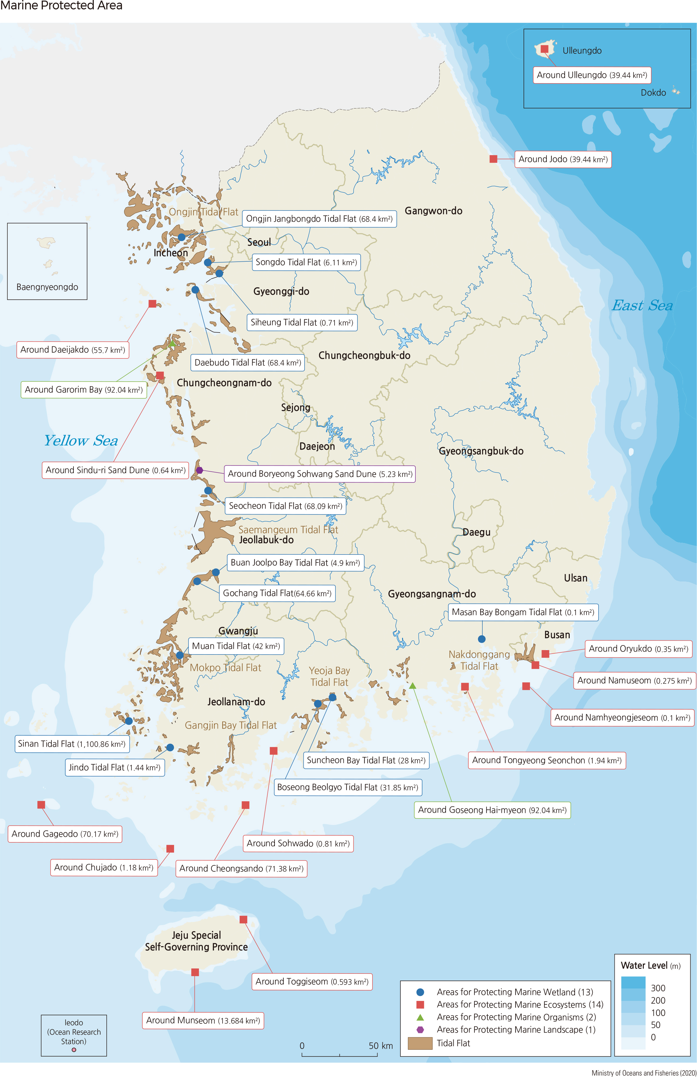
Tidal flats are classified into mud flats, sand flats, or mixed flats, depending on surface sedimentary facies. They can also be categorized according to geomorphological features as follows: open, which are strongly affected by tidal currents and waves; estuarine, located along the coast with large rivers flowing into them; and bay, which are rarely affected by waves due to their narrow mouths.
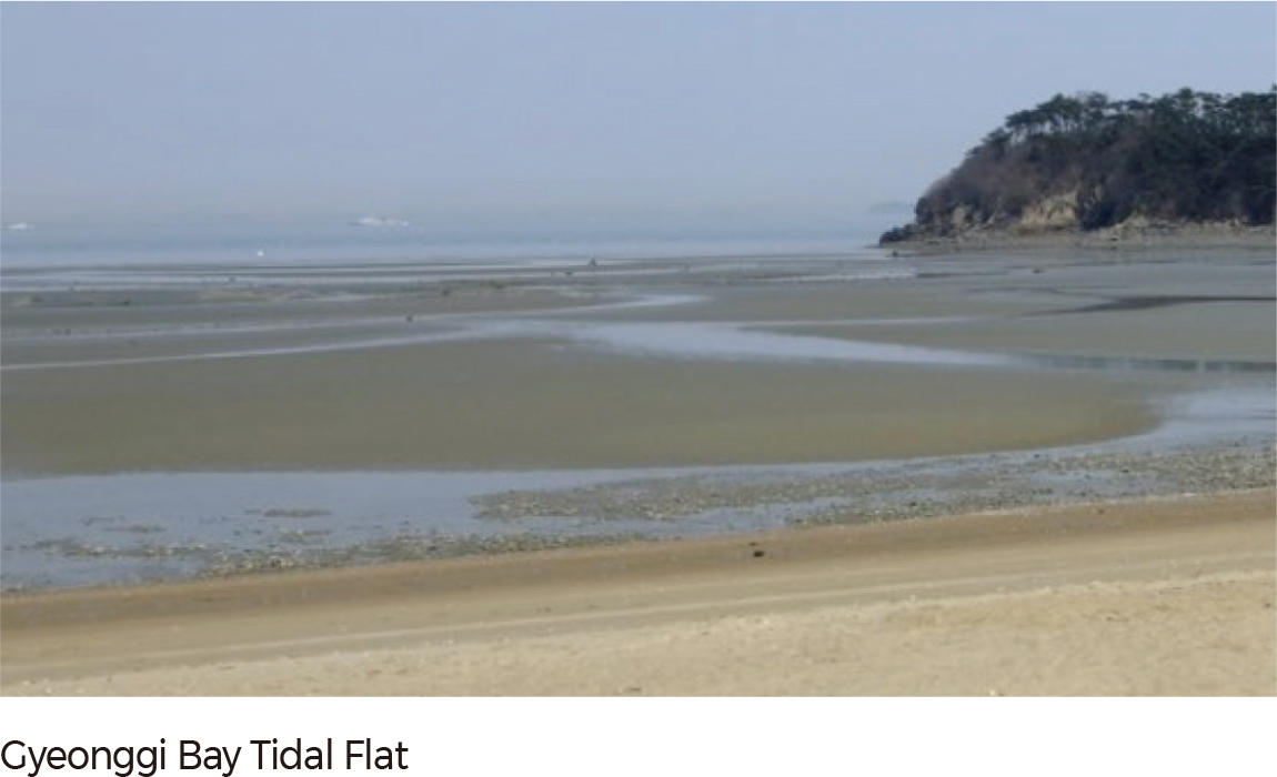
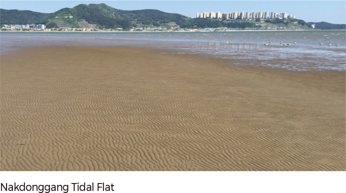
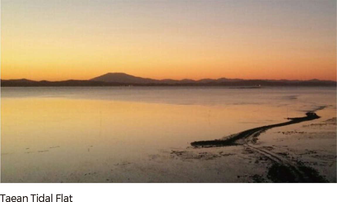
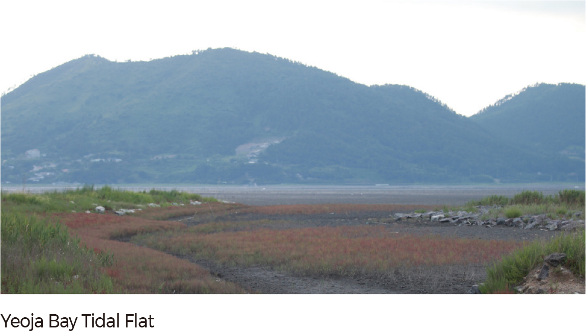
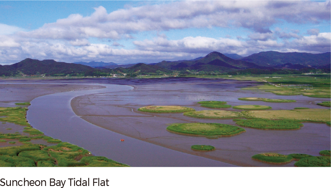
The Gyeonggi-man tidal flat and the Taean tidal flat are mixed flats, where certain areas are composed largely of mud and sand. The Suncheon-man and Yeoja-man tidal flats include vast coastal wetlands and a variety of vegetation. The Nakdonggang tidal flat has a near-shore sand ridge due to the active inflow of sediment from the Nakdonggang River.
Estuaries are ecological transition zones where freshwater and seawater meet. Although they are home to the highest productivity on the planet, their ecosystem is increasingly impaired due to various development ventures. In response, Korea has been carrying out surveys of the current ecosystem status of national estuaries with high biological diversity and superior ecological functions. These surveys have been effective in the designation of the estuaries as Ecosystem Conservation Areas or Wetland Protection Areas. From 2004 to 2014, the Ministry of Environment completed a detailed investigation for 28 main estuaries (such as the Hangang estuary and Tamjingang) through the 1st Intensive Survey on Estuarine Ecosystems. Currently, the National Wetland Center of Korea is in the process of conducting detailed and basic investigations for the other estuaries as well. |