English II 2020
The Korean Peninsula is surrounded by water on three sides and is connected to China to the north. Korea is located at the gateway to the continent due to its direct access to the ocean and maritime transport. In terms of topography and climate, Korean seas have more complicated structures than those adjacent to other countries. Korean seas have various physical, chemical, and geological factors, such as seasonal ocean currents, tides, and complex topographical features, that can inhabit a wide range of marine life with unique characteristics.
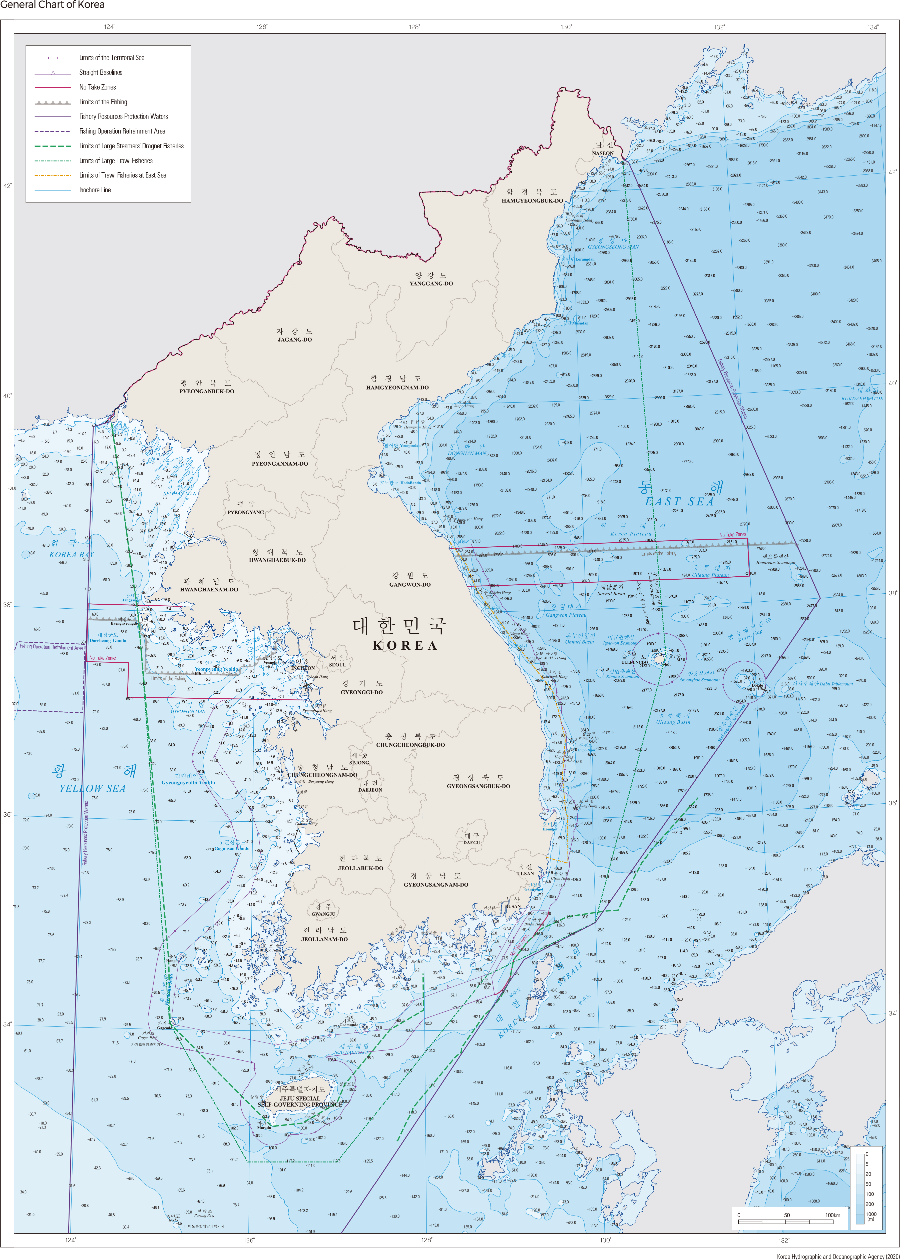
The eastern coastline of Korea is relatively simple, while the southern and western coastlines are complex with diverse coastal landforms. There are a total of 3,418 islands located in the Korean coastal areas, mainly concentrated in the South Sea and the Yellow Sea.
The Yellow Sea, which extends into the East China Sea, is characterized by shallow water less than 80 m deep and gently sloping submarine topography. It is named after its yellowish color, which arises from sediment-rich river water from the Yangtze and the Yellow River of the Chinese mainland. It has a low average salinity (30–33‰) that can be attributed to the influence of freshwater from the many rivers flowing from the Korean Peninsula and China. Sea surface salinity is further reduced during the rainy season of the summer due to an increase of freshwater from the land. During the warmer conditions of spring to summer, a thermocline and halocline develop at a depth of 20–30 m, leading to stratification with higher temperatures at the surface and lower temperatures at the bottom. In winter, the cooling of the surface water causes vigorous vertical mixing, thus making stratification disappear. The Yellow Sea has a well-developed tidal current that arises from strong tidal activities.
The southern coast borders the Korea Strait, which separates Korea and Japan. It is characterized by shallow water with an average depth of less than 100 m and is a narrow waterway through which the Tsushima Current passes. Throughout the seasons, it is greatly affected by the fluctuation of the Kuroshio Current, which carries subtropical seawater characterized by high temperatures and high salinity. During the summer, seawater with low salinity from the East China Sea is distributed in the upper layer, while high-salinity seawater from the Kuroshio Current (known as the Kuroshio Intermediate Water) spreads in the lower layer. Only the Kuroshio Intermediate Water remains during the winter due to the absence of low-salinity seawater from the East China Sea.
The east coast has a relatively simple coastline with deep water that reaches depths of 2,000–3,000 m. It has well-developed narrow beaches, but the steep slopes of coastal and seabed topography prevent the development of tidal flats and continental shelves. The submarine topography of the east coast is divided into three major basins. The Japanese Basin, which is over 3,000 m deep, is located to the north. In the south, the Yamato Uplift stands in the center, with the Ulleung Basin to the west and the Yamato Basin to the east. The Tsushima Current flows into the East Sea through the Korea Strait. It spreads along the surface of the East Sea, while the East Sea Proper Water can be seen in the deep sea layer. With a salinity of 34.0–34.1‰ and a temperature of 0–1°C, the East Sea Proper Water displays characteristics that are only witnessed in the East Sea. The Tsushima Current (flowing from the south) and the Primorye (Liman) Cold Current (flowing from the north) also meet at the East Sea. |