English II
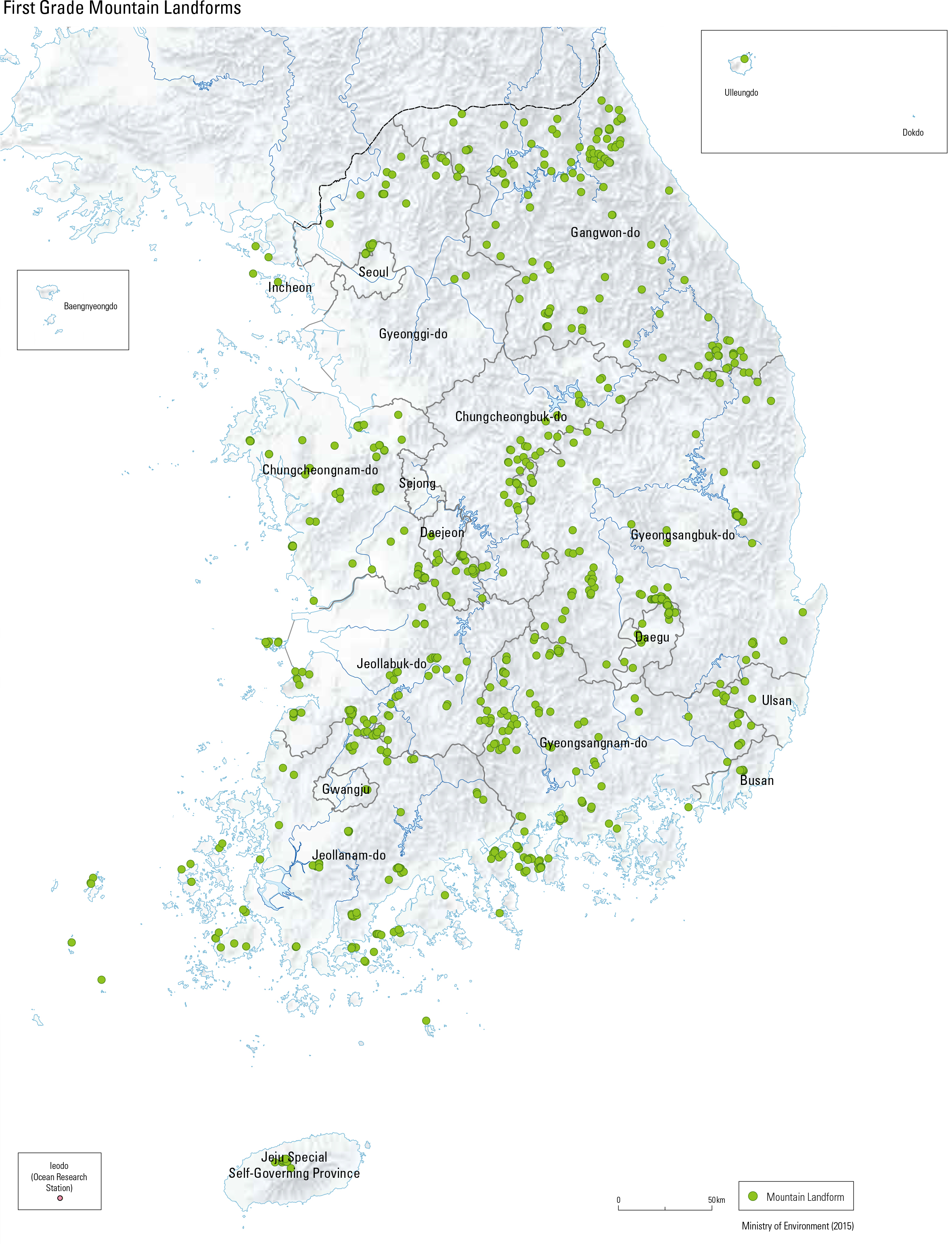
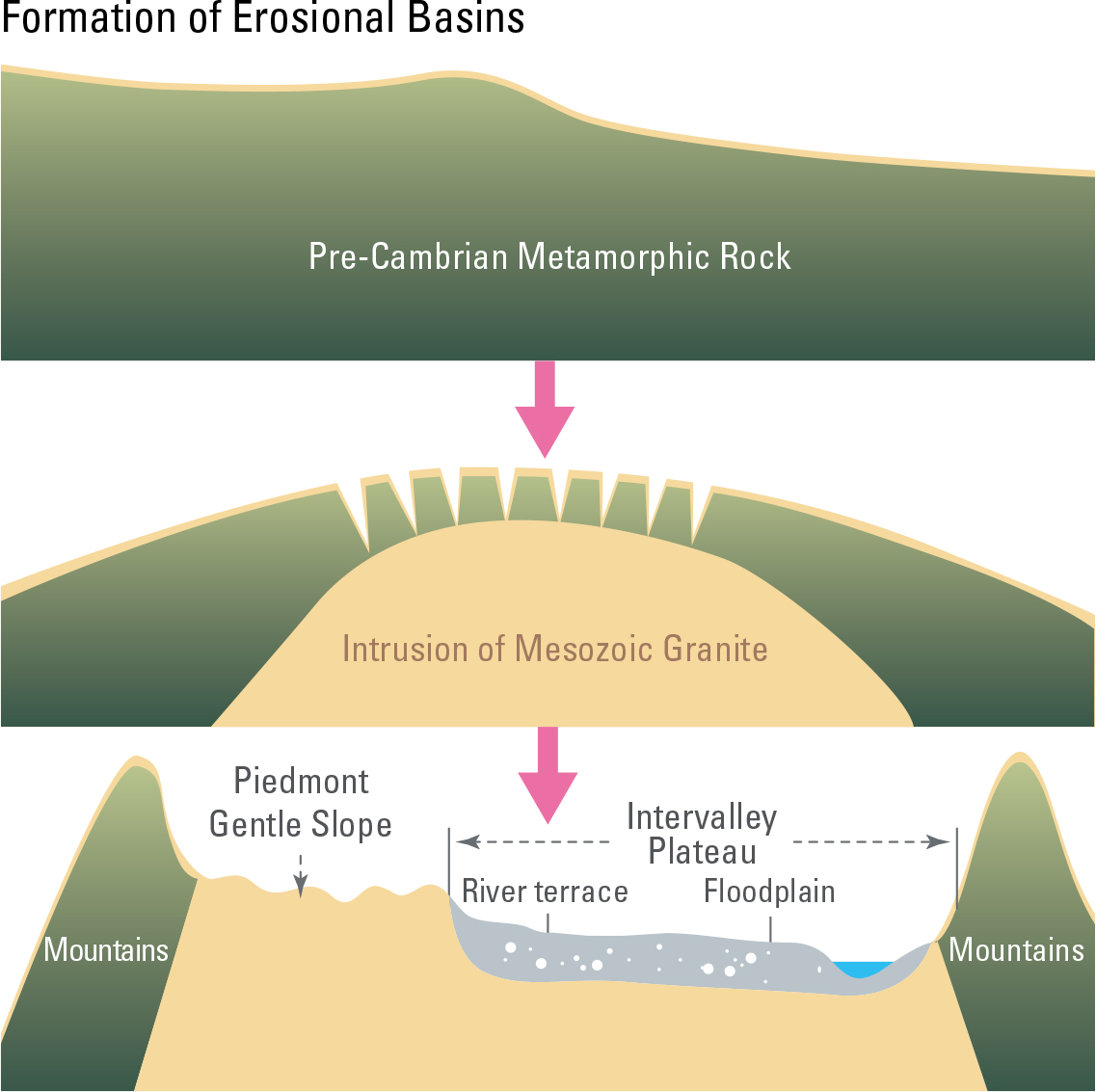
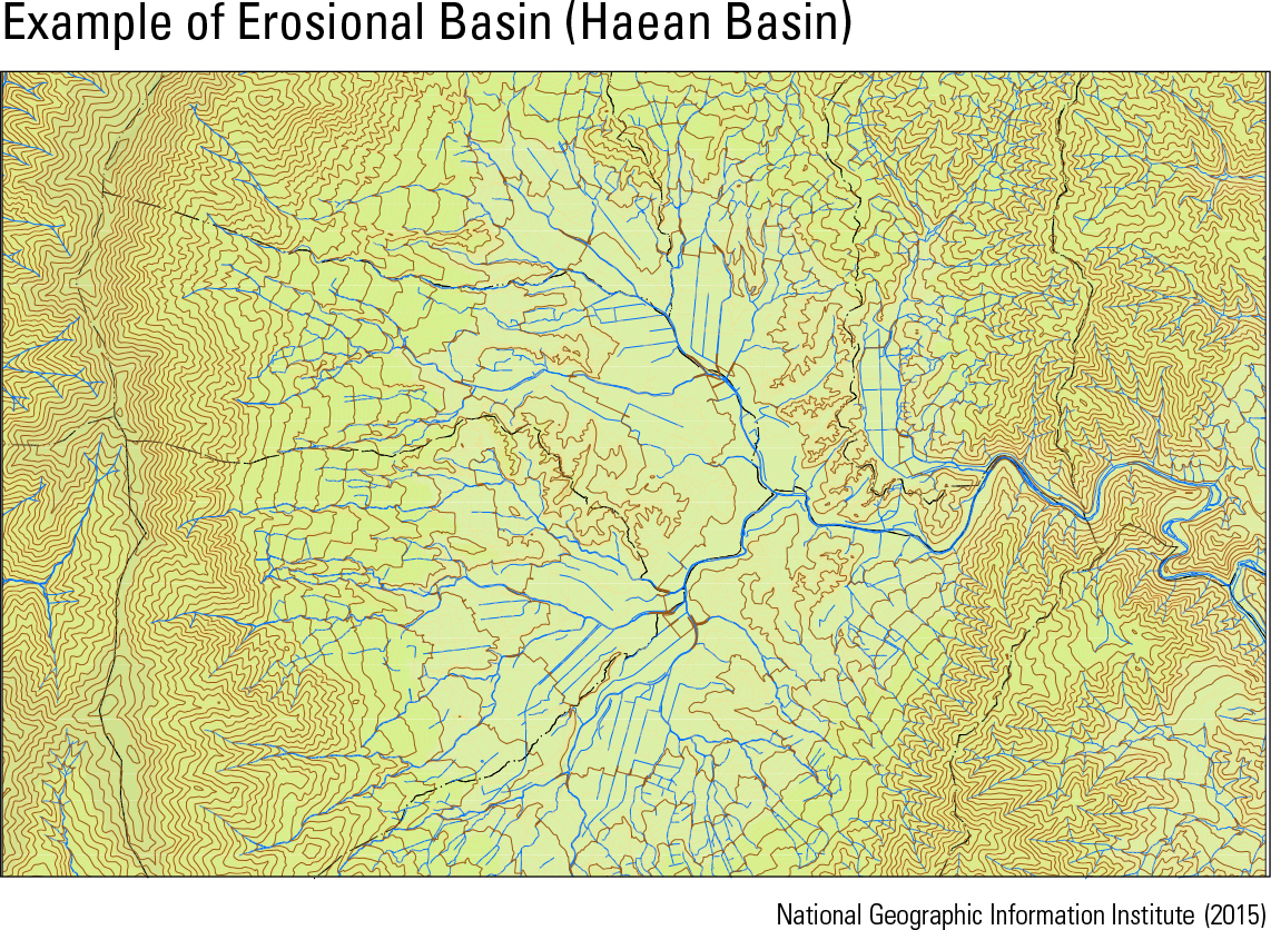
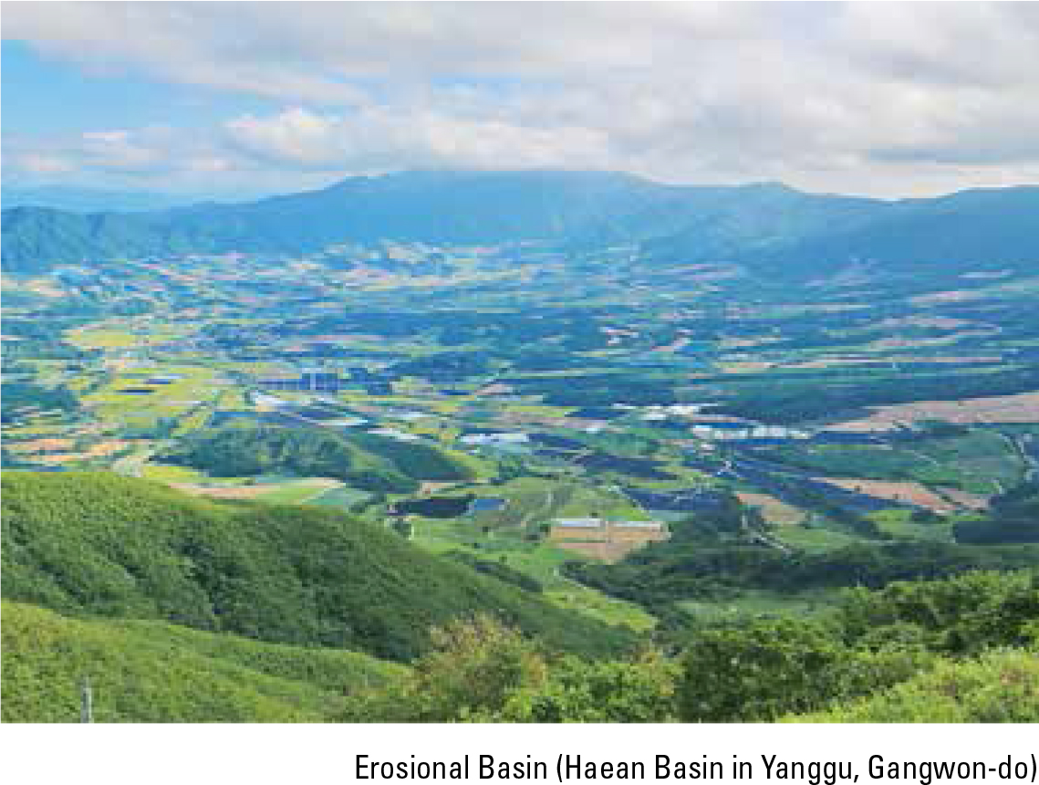
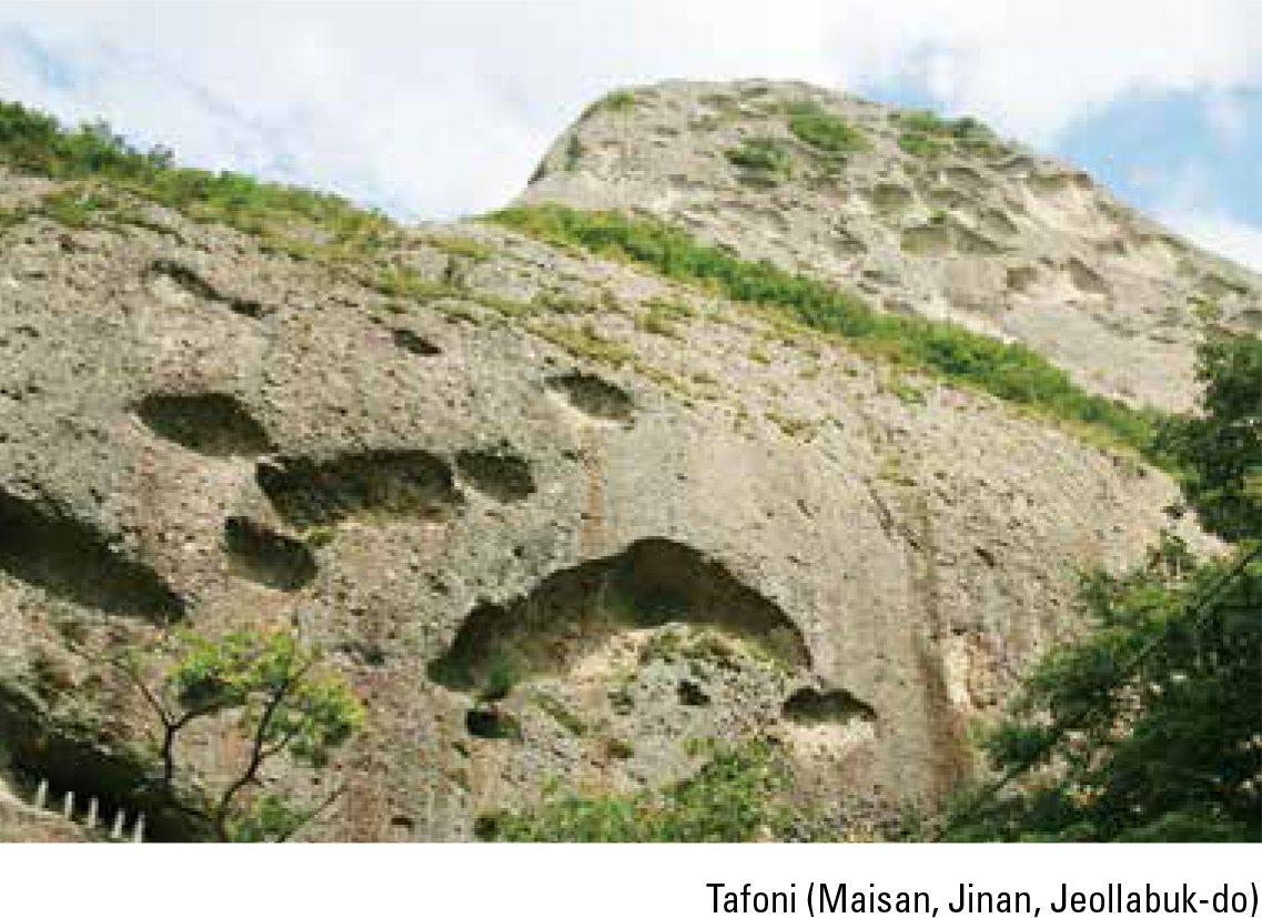
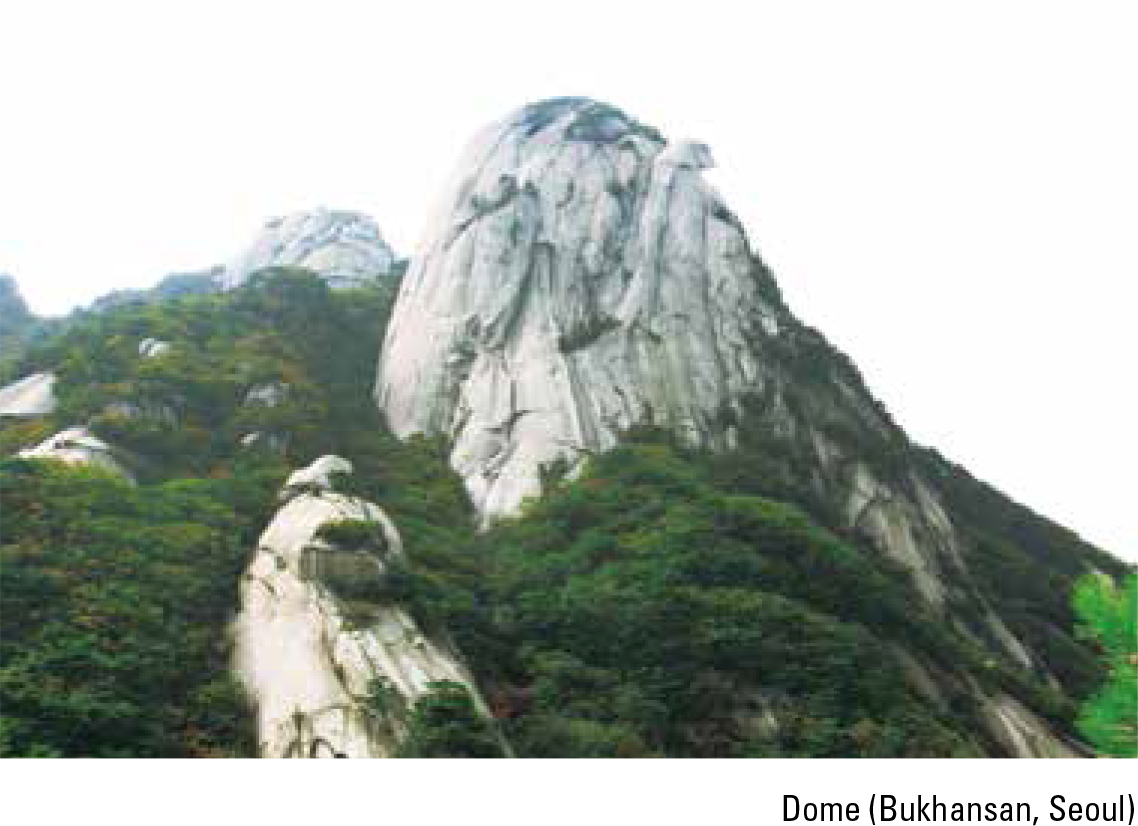
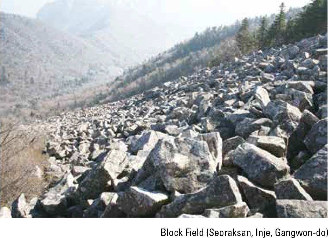
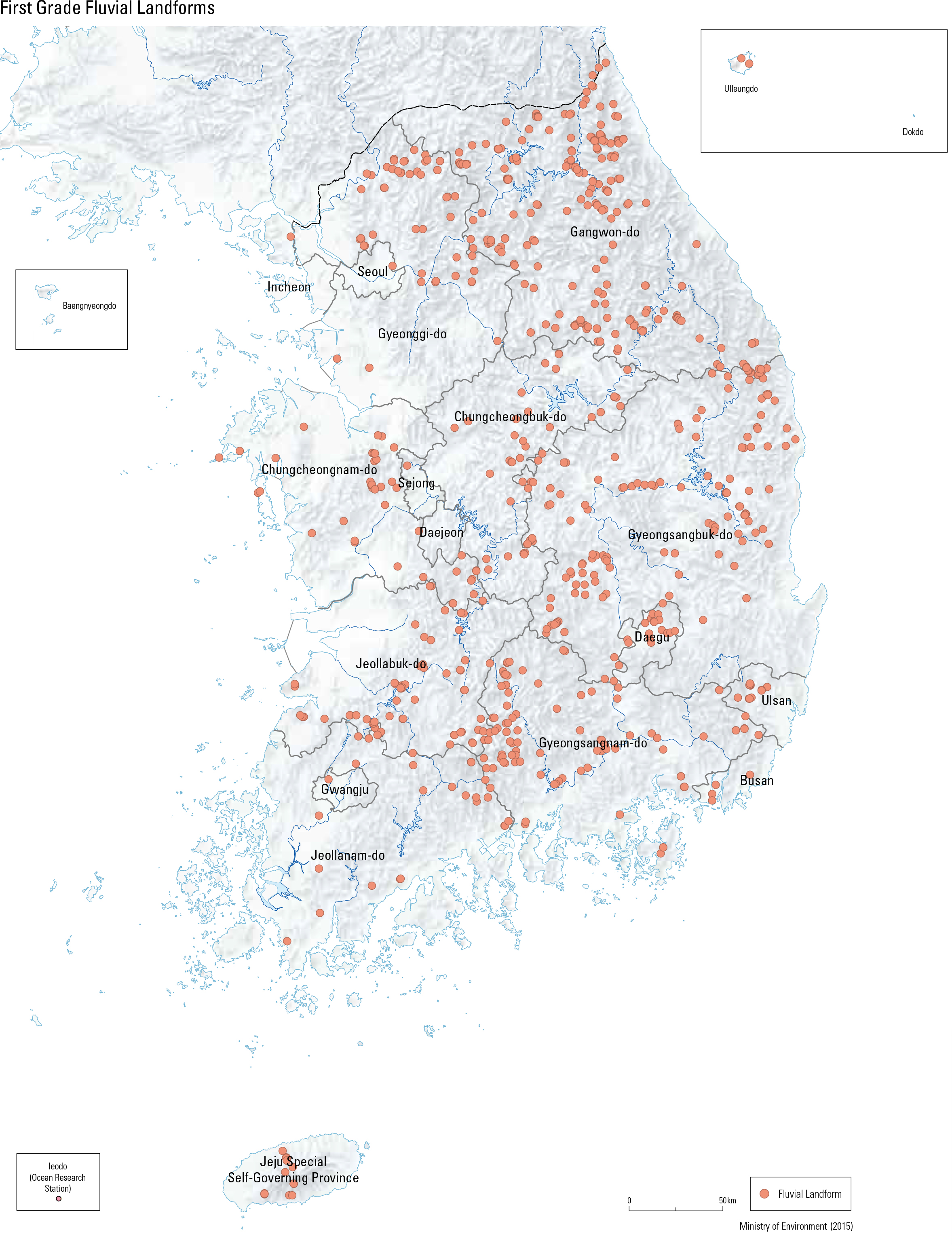
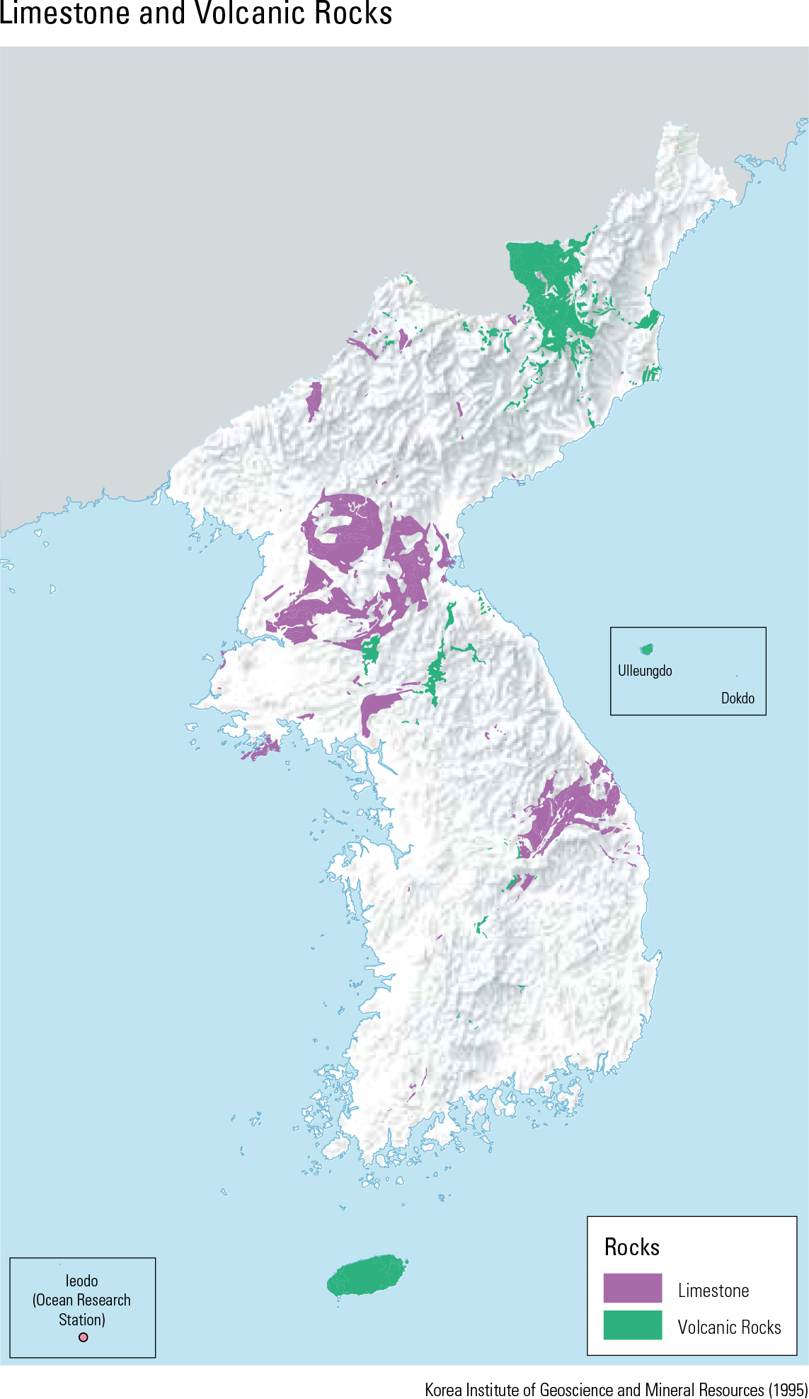
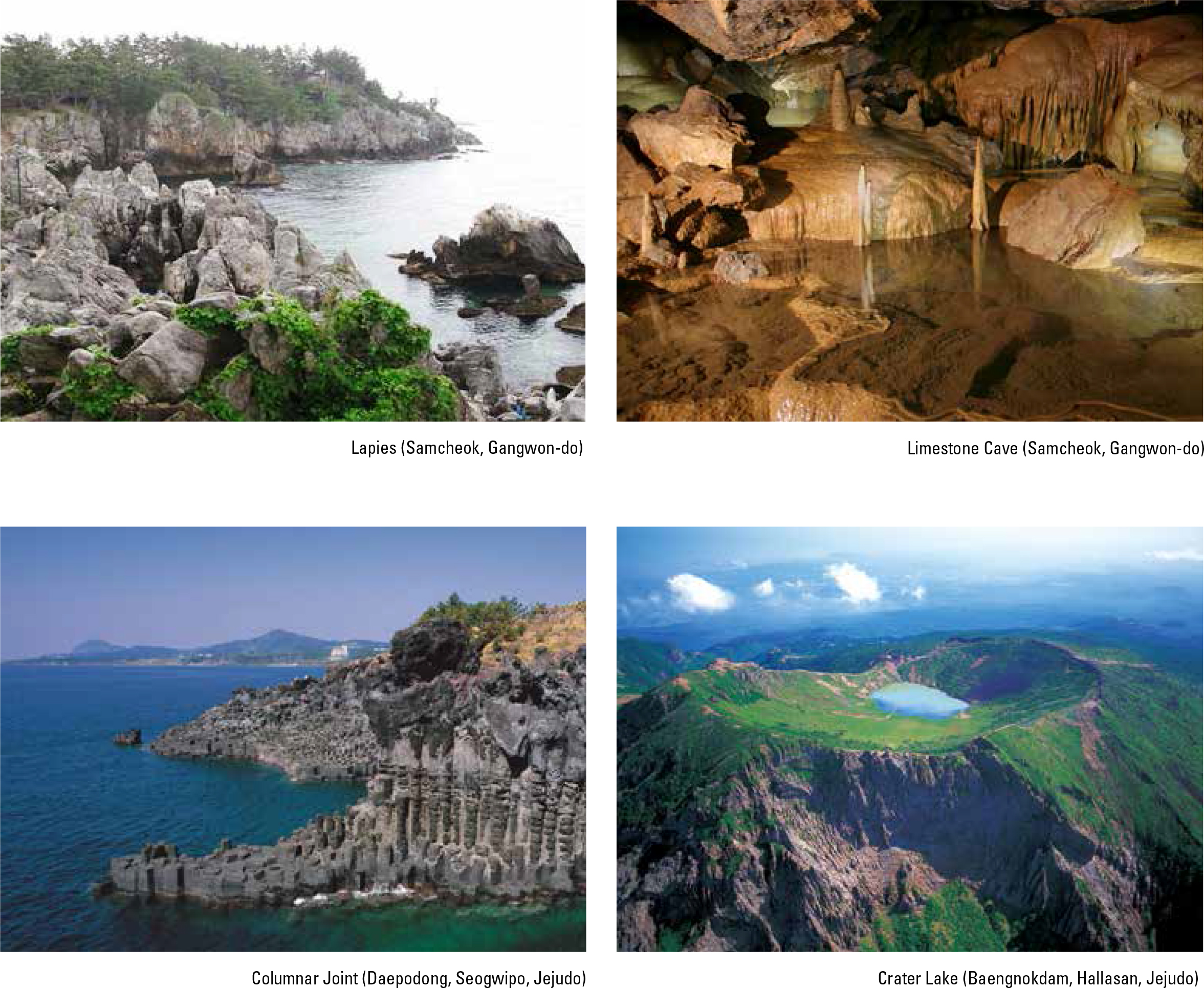
Although approximately 70% of Korea's territory consists of mountainous areas, there are not many mountains with high eleva- tions. The highest peak in South Korea (excluding Hallasan in Je- judo) is Jirisan, which stands less than 2,000 m. The higher moun- tains are distributed toward the eastern side, a phenomenon that can be explained by the asymmetrical warping of the Korean Peninsula. Bedrock that is resistant to weathering and erosion constitutes the high rugged mountains, while less resistant rocks characterize the lowlands, basins, and valleys. South Korea displays a complex topographic regime due to various bedrock compositions formed over different geological periods. For example, metamorphic rocks originate from the Pre-Cambrian period, granite and volcanic rocks were formed during the Mesozoic period, and sediments remain from the Tertiary and Quaternary periods. Typical eroded and weathered landforms include erosional basins, sinuous rivers, rock cliffs, rock domes, tors, tafoni, and caves, while depositional land- forms include block streams, talus deposits, and upland wetlands. According to the Natural Ecosystem Survey, rst grade landforms are generally located along the high mountains of Taebaeksanmaek and Sobaeksanmaek, and are also widely distributed in island areas
page_2 |
