English I
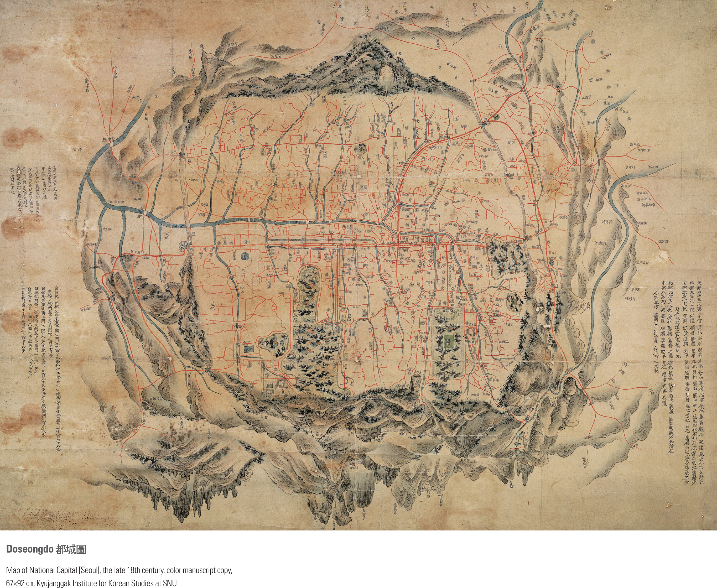
With Dobongsan and Bukhansan in the background, this map depicts the beautiful natural environment of Seoul in the form of a landscape painting along with the mountains of Baekaksan, Inwangsan, Mokmyeoksan (present-day Namsan), Taraksan (present-day Naksan), which are collectively called Naesasan. In-town landscapes were drawn vertically and marked with place names. The planar description is intentional so as to contrast with the surrounding mountain terrain. Written on the margin are descriptions of administrative districts, the size of the city, roads, and streets with Donhwamun, the main gate of the Changdeokgung Palace, in the center to highlight the Changdeokgung Palace as the main working palace of the country. The map was featured with a south-up orientation to reflect the royal standpoint of a king who would have sat facing south when he took care of state affairs. page_2 |