English I
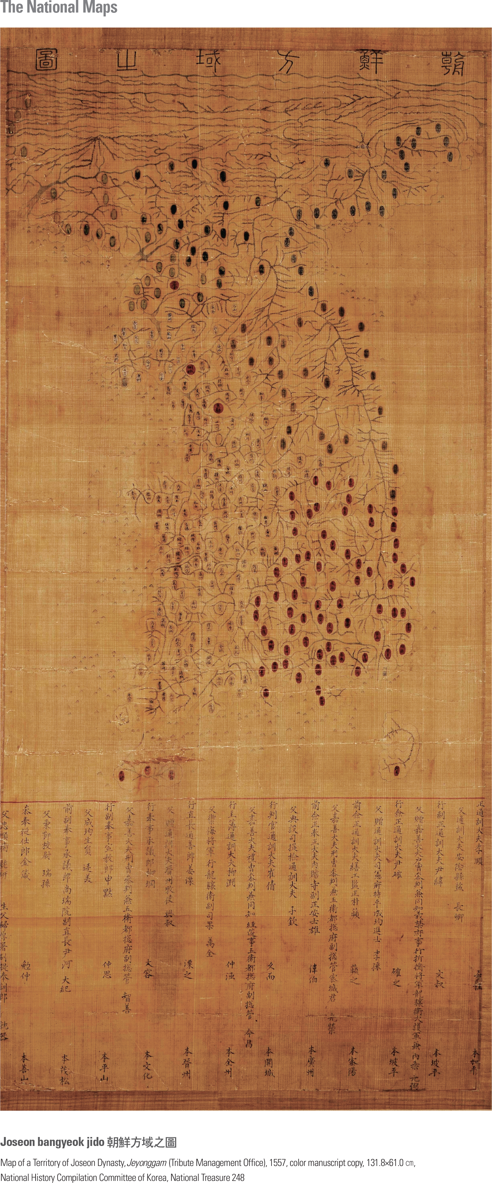
This is a complete map, which contains both a clear identification of its cartographer and the year of its making. It was created by Jeyonggam (the Tribute Management Office), which was in charge of the supply of royal garments and food. Scientific mapmaking projects were initiated in the early Joseon Dynasty under the reign of King Sejong, resulting in the publication of the cumulative geographic knowledge portrayed in the Dongkuk jido (Map of Korea) by Jeong Cheok and Yang Sungji. The Joseon bangyeok jido is supposedly a copy of the Dongkuk jido. The name of the map appears at the top, the map itself at the center, and the list of participating officials at the bottom. The geographic features of the mid and southern parts of Korea are relatively precise, but those of the northern part are rather distorted. The drainage pattern is quite accurate except for the Amnokgang and the Dumangang; mountain ranges are expressed in the form of mountain chains based on the traditional geomantic understanding of the land. page_2 |