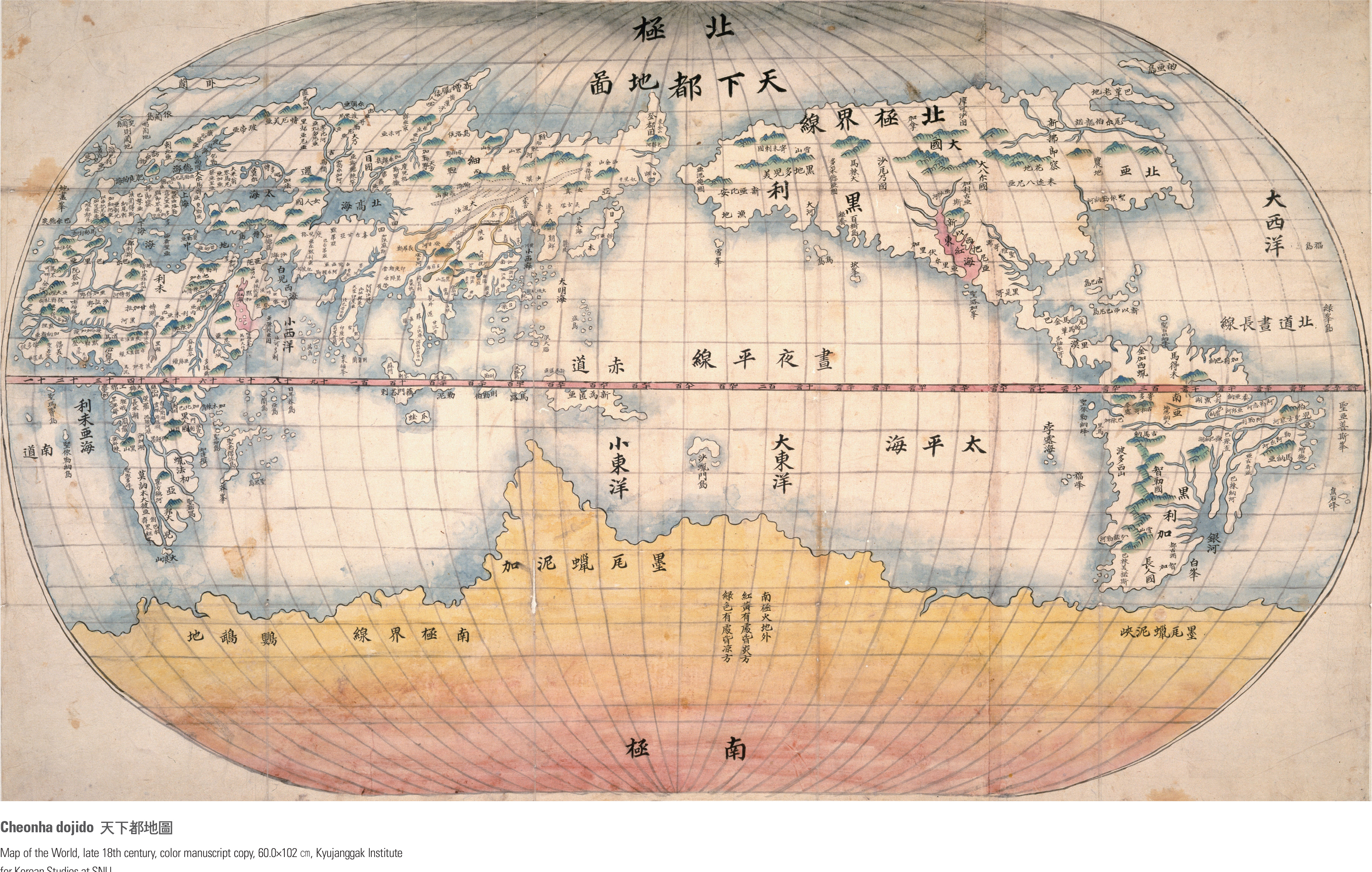
English I
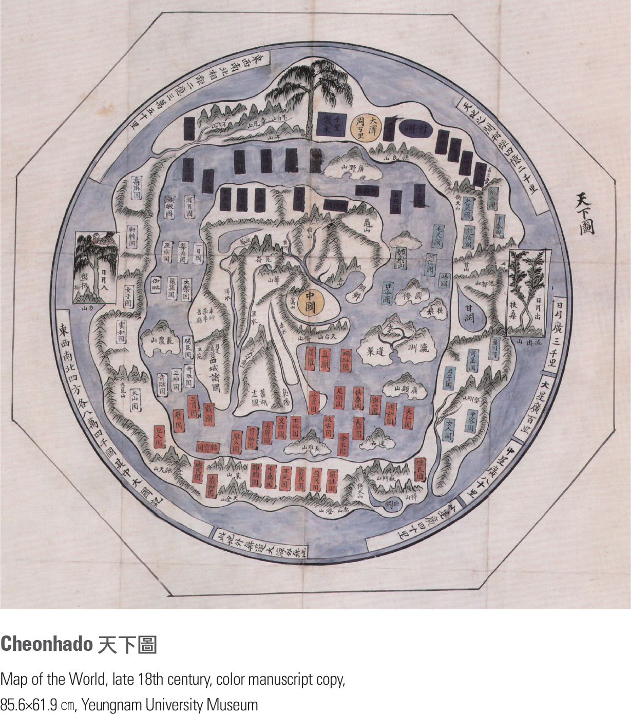
This map is a manuscript copy of a world map made by Kwon Keun, Kim Sahyung, Lee Mu, and Lee Hoe in 1402 (the 2nd year of King Taejong). With China at the center of the map, it depicts the general form of the Old World, from Africa and Europe in the west to Joseon and Japan in the east. The western part of Arabia is also drawn on the map as it had been known to Joseon cartographers thanks to the diffusion of Islamic cartography imported through Mongol influence during China’s Yuan Dynasty. The map shows that Joseon cartographers were aware of and interested in different parts of the world. According to the preface at the bottom, the map was constructed from sources based on two Chinese maps, Shengjiao Guangbei Tu and Hunyi Jiangli Tu, a map of Joseon, and a map of Japan. The map is recognized as one of the best world maps among those produced in the early 15th century. It shows cultural exchanges between East and West and people’s perception of the world at that time. page_2 |