English III 2021
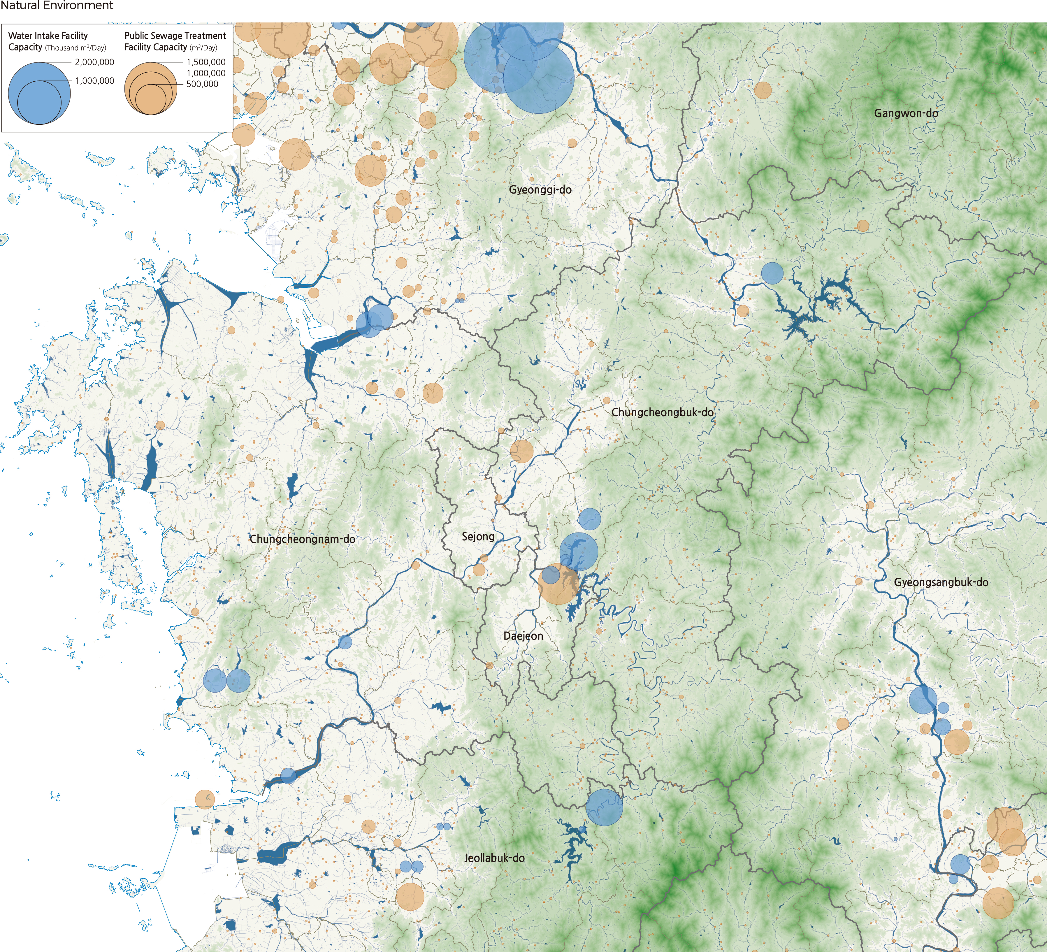
Most of the Chungcheong region, which consists of Chungcheongbuk-do and Chungcheongnam-do, belongs to the Geumgang River Basin, but the east of Chungcheongbuk-do belongs to the Hangang River Basin. Chungju Dam, dam of the Namhangang (the mainstream of the Hangang), is located in Chungcheongbuk-do. In the mountainous region starting from Gangwon-do and extending to the southwest, there are the Sobaeksan, Woraksan, and Songnisan National Parks. Major cities, including Daejeon, Chungju-si, and Cheongju-si, are located on the northwest of these mountains. The Geumgang, flowing from the south to the north in the mountainous terrain, passes between Daejeon and Cheongju-si and leads to the west coast through Gongju-si, Buyeo-si, and Gunsan-si. Small streams flow to the Asan Bay in the west coast, which is surrounded by Cheonan-si, Asan-si, and Dangjin-si. Many small islands are scattered around the Taean Peninsula area. Multi-purpose dams, including Chungju Dam, Daecheong Dam, and Boryeong Dam, supply water to the Chungcheong region. Chungju Dam has a power generation capacity of 412,000 kW and a water supply capacity of 3,380 million m3/year and supplies water to southern Gyeonggi-do and Chungju-si, Eumseong-gun, Goesan-gun, and Jincheon-gun in the Chungcheong Region. Daecheong Dam supplies water to Cheongju-si, Cheonan-si, and Asan-si. Boryeong Dam supplies water mainly to the west coast areas, such as Boryeong-si, Seosan-si, and Dangjin-si. In addition to dams, major cities such as Daejeon and Sejong get their domestic water mainly from rivers. |