Comprehensive Edition 2022
Korea sits at the edge of earth’s largest continent, on the shores of the largest ocean, where Asia meets the Pacific. Due to its special location, Korea acts as a gateway to East Asia, well-connected to other countries in the region and across the globe. Ships and planes easily transport people and materials between Korea and trading partners worldwide.
Korea is on a peninsula—an extension of land bordered on most sides by water. Koreans living on the east coast can watch the morning sunrise over the East Sea. In the evening, those on the west coast see the sunset over the Yellow Sea. A narrow body of water, the Korea Strait, separates the southern part of the peninsula from the island nation of Japan. To the north, the peninsula connects Korea with two countries: China and Russia. The territory of Korea, including several islands in the seas surrounding the peninsula, extends from about 33 to 43 degrees north latitude, placing it in the temperate mid-latitude zone. This gives Korea a moderate climate with warm, rainy summers and cold winters.
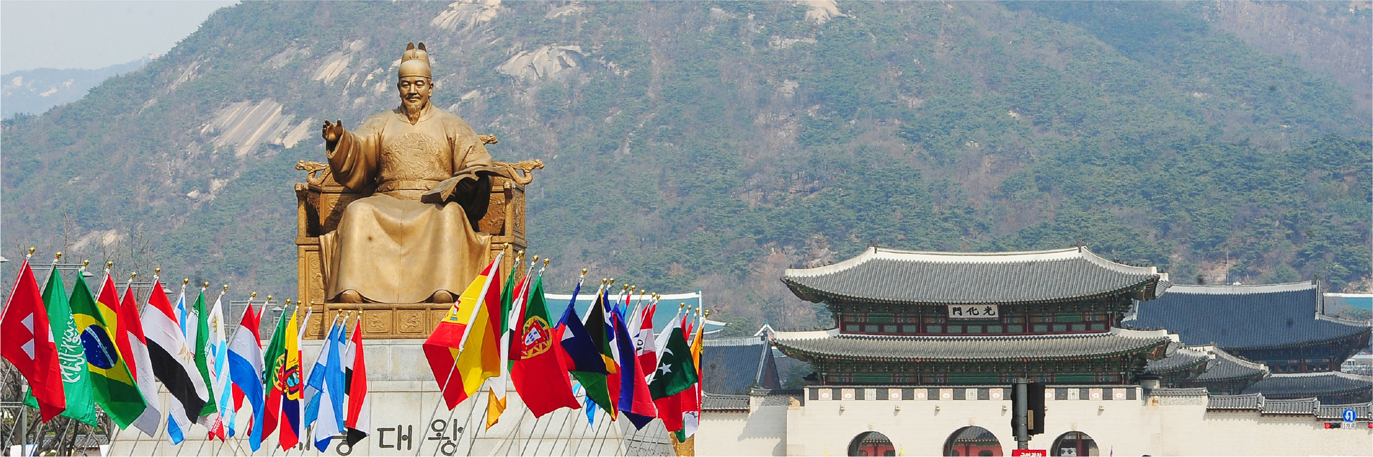
For thousands of years, Korea has been unified by a distinct language and identity. A long tradition of scholarly and artistic pursuits is reflected in the architecture, literature, and culture of the country. Unfortunately, after the Korean war in the 1950s, Korea was split into two countries: North and South Korea. In the decades since the war, the economy and quality of life in South Korea have improved greatly. South Korea has emerged as an economic powerhouse, exporting high-tech items such as smart phones and automobiles and sharing its unique food, music, and culture with the rest of the world. As it draws on its deep roots and its rich history, South Korea continues to make use of its recent prosperity in a responsible way, engaging in beneficial exchanges with other countries, contributing new ideas, and forging new partnerships as a critical member of the global community.
This atlas paints a portrait of Korea from the perspective of the discipline of geography, a field that reflects both scientific and artistic insights. The maps and graphics presented here are based on real-world observations, scientific analyses, and a precise representation of quantitative, spatial data. Given Korea’s rich layers of history and the accelerated developments of recent decades, this atlas attempts to illustrate the country according to cartographic principles of design in a way that is both succinct and beautiful. Just as the perspective of an artist provides a fresh way to see and understand a subject, the geographic perspective is well suited for encapsulating complex and subtle ideas. Thus, a recurring theme of this atlas is the application of the traditions of geography and cartography to paint an accurate and compelling portrait of the remarkable country that is Korea. |