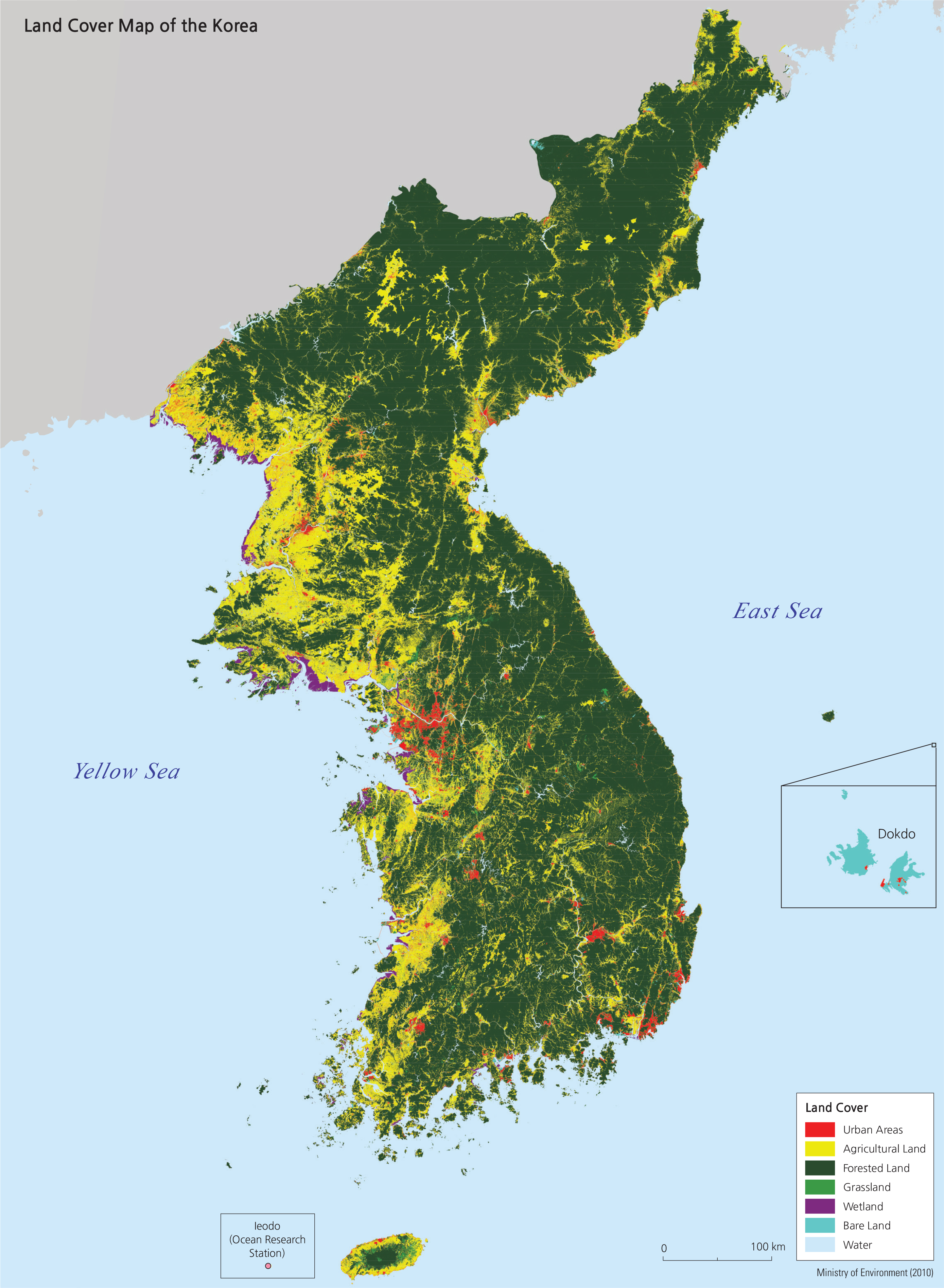
Korea’s beautiful scenery can be classified into categories called land cover classes. Each class is mapped as a particular color on the map to the right. The land cover map indicates general patterns of how land is used on different parts of the peninsula.
<photograph>
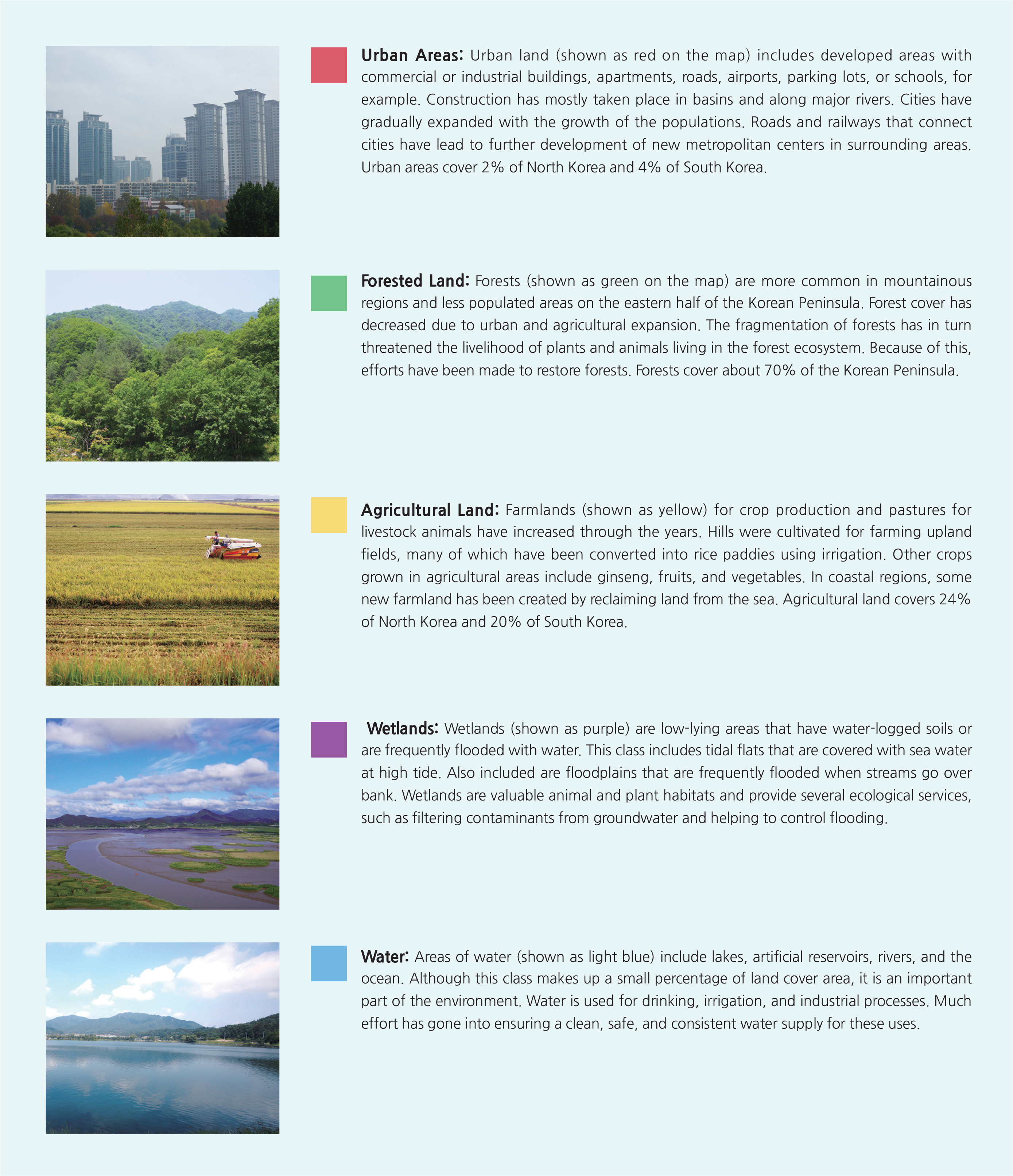
Urban Areas: Urban land (shown as red on the map) includes developed areas with
commercial or industrial buildings, apartments, roads, airports, parking lots, or schools, for example. Construction has mostly taken place in basins and along major rivers. Cities have gradually expanded with the growth of the populations. Roads and railways that connect cities have lead to further development of new metropolitan centers in surrounding areas. Urban areas cover 2% of North Korea and 4% of South Korea.
<photograph>
Forested Land: Forests (shown as green on the map) are more common in mountainous regions and less populated areas on the eastern half of the Korean Peninsula. Forest cover has decreased due to urban and agricultural expansion. The fragmentation of forests has in turn threatened the livelihood of plants and animals living in the forest ecosystem. Because of this, efforts have been made to restore forests. Forests cover about 70% of the Korean Peninsula.
<photograph>
Agricultural Land: Farmlands (shown as yellow) for crop production and pastures for livestock animals have increased through the years. Hills were cultivated for farming upland fields, many of which have been converted into rice paddies using irrigation. Other crops grown in agricultural areas include ginseng, fruits, and vegetables. In coastal regions, some new farmland has been created by reclaiming land from the sea. Agricultural land covers 24% of North Korea and 20% of South Korea.
<photograph>
Wetlands: Wetlands (shown as purple) are low-lying areas that have water-logged soils or are frequently flooded with water. This class includes tidal flats that are covered with sea water at high tide. Also included are floodplains that are frequently flooded when streams go over bank. Wetlands are valuable animal and plant habitats and provide several ecological services, such as filtering contaminants from groundwater and helping to control flooding.
<photograph>
Water: Areas of water (shown as light blue) include lakes, artificial reservoirs, rivers, and the ocean. Although this class makes up a small percentage of land cover area, it is an important part of the environment. Water is used for drinking, irrigation, and industrial processes. Much effort has gone into ensuring a clean, safe, and consistent water supply for these uses.