for Children
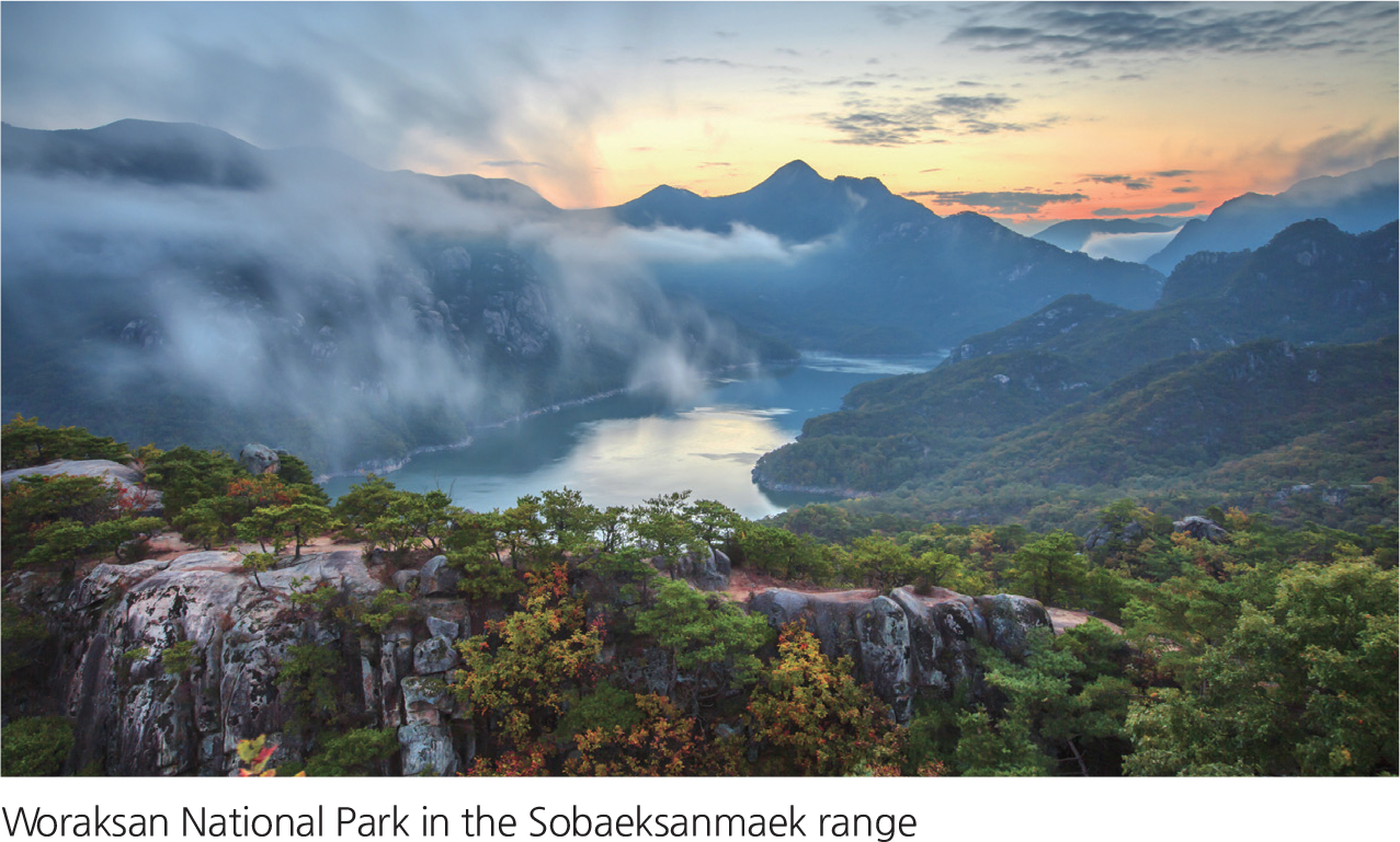
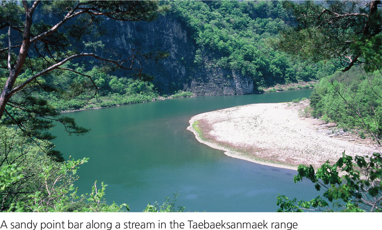
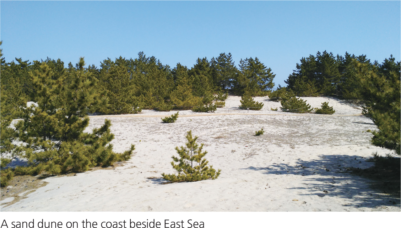
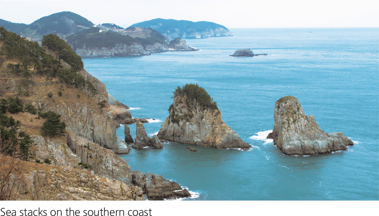
Korea has some of the most beautiful and varied scenery in the world. The scenery, or landscape, of a particular place is made up of the visible landforms, plants, and other elements that give a place its character. Within a short distance a traveler in Korea can see very different landscapes, with landforms such as rocky shorelines, rugged mountains, tranquil lakes, or meandering streams. Some landforms are the result of deposition (accumulation) of earth materials. For example, a dune is a deposit of wind-blown sand. Other landforms are the result of erosion (wearing away) of material. For example, the erosion of soil by a stream can produce a deep river valley.
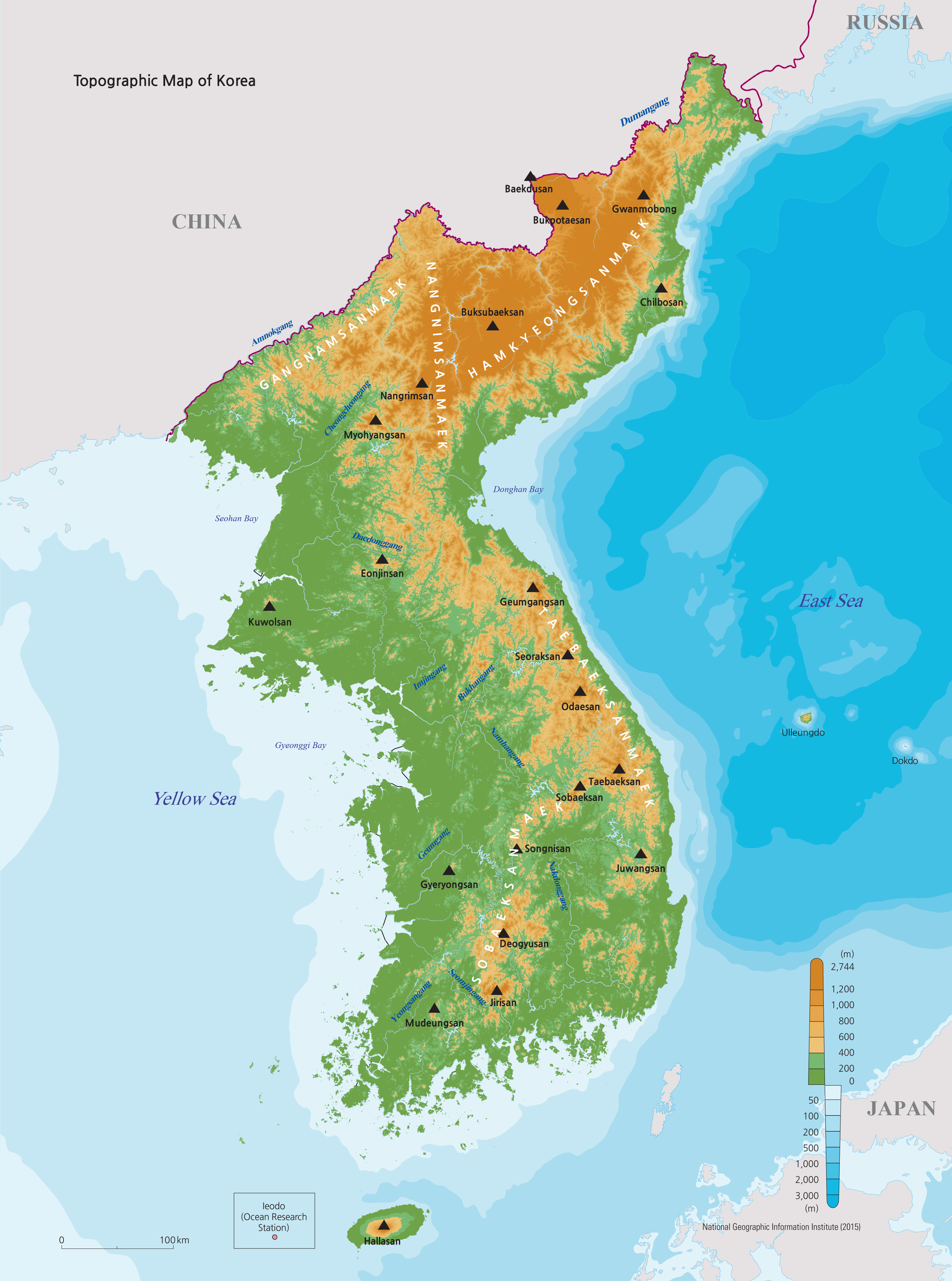
The map to the right uses colors to indicate topography—how high the land lies above sea level, also called elevation. Lower land elevations are shown in green and occur mostly in the west and south. Mountain ranges with high elevations are shown in orange and yellow, mostly in the north and east. The highest peak is Baekdusan in North Korea, with an elevation of 2,744 meters. The Hamkyeongsanmaek and Taebaeksanmaek mountain ranges run roughly north-to-south along the shoreline of East Sea. Rivers on the east side of the ranges don’'t have far to go to reach East Sea, so they are short rivers. Rivers flowing west have farther to go across the lowlands toward the Yellow Sea and so are much longer. The Korean Peninsula is bordered by water on three sides. The topographic map indicates the depths of these seas, with darker blue colors representing greater depths. As can be seen on the map, Yellow Sea is relatively shallow, less than 100 meters deep. East Sea, however, has depths of more than 3,000 meters. The peninsula has relatively long coastlines for its size. In contrast to its smooth eastern coastline, its southern and western coastlines are irregular and complex, with many islands.
|